May 15th, 2023
If you are planning a sailing holiday to Mallorca, or have recently brought your own boat here, a question you are no doubt asking is how long does it take to sail around Mallorca? Where are the best sailing destinations this beautiful island has to offer? Moreover, how long does it take to get there?
The entire coastline for the island of Mallorca stretches approximately 550 kilometers, or around 300 nautical miles. When you convert this into a way-pointed sailing route around the island, it becomes more like 200nm. The amount of time it takes to cover this ground will depend on your yacht, the weather and the sea state. Allowing a cruising speed of 5 knots, and a strict schedule of 5 hours sailing time per day; this would take you 8 days.
In reality, keeping up this cruising speed if you are relying on the wind in your sails to be the right strength and for it to be taking you in the direction you actually want to be going, is unlikely. This schedule also does not allow for days when you want to stop and explore the delights ashore, or swim in the crystal waters of a rocky cove. With this in mind, allowing yourself 2 weeks to sail around Mallorca will be sufficient. The following itinerary will give you a rough guide to the distances involved.
| Palma Marinas to Andratx | 19 nm |
| Andratx to St Elm, via Dragonera | 8 nm |
| St Elm to Sa Foradada | 18nm |
| Sa Foradada to Port de Soller | 4.5nm |
| Port de Soller to Cala Sant Vicenç | 21nm |
| Cala Sant Vicenç to Port de Pollença | 15nm |
| Port de Pollença to Alcudia | 13.5nm |
| Alcudia to Cala de S’Aguila | 21nm |
| Cala de S’Aguila to Porto Cristo | 15nm |
| Porto Cristo to Porto Colom | 8nm |
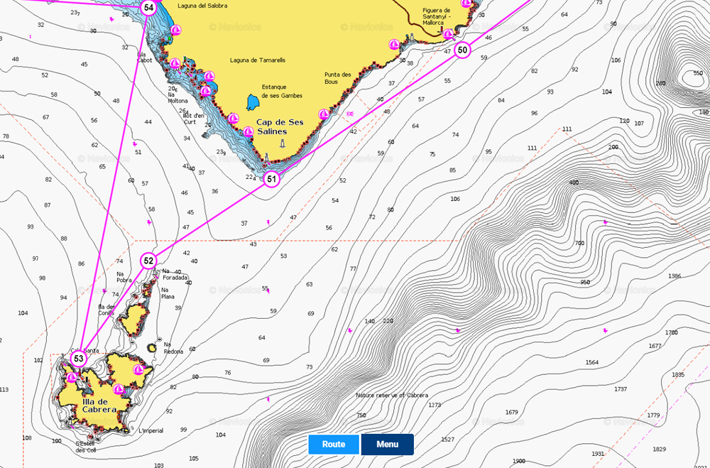
| Porto Colom to Cabrera | 22.5nm |
| Cabrera to Es Trenc | 11nm |
| Es Trenc to Cala Blava | 18.5nm |
| Cala Blava to Illetas (Palma) | 7.5nm |
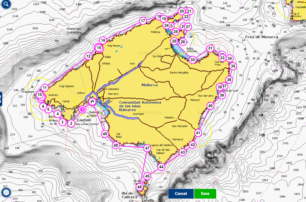
Presuming that you keep your boat in one of the marinas in Palma, let’s begin our journey leaving the harbour breakwater and heading southwest down the coast towards Cap de Cala Figuera. Rounding the point with the prominent lighthouse and continuing west/northwest passing more rocky headlands before entering the sheltered port of Andratx. There is a large marina in the northern side of the bay, and mooring buoys available along the south side.
To complete a full circumnavigation, the islet of Sa Drangonera must also be included. Dragonera is a protected ‘Parque Natural’ and permission must be requested beforehand if you wish to seek anchorage or sail within 50metres of the coast between the months of March and September. The short sail around the island and overnight stop on a mooring buoy off Sant Elm leads up to a longer day’s journey the following day.
The West Coast of Mallorca is in stark contrast to the southwest coast, where you find numerous safe havens and beaches to anchor off. The Tramuntana mountains jut out of the Mediterranean creating steep sided rocky crags and tree covered outcrops. Shelter on this coast is limited, so this is where longer days at sea are required to cover the distance necessary to reach the next port.
With only 4.5nm from Sa Foradada to the port of Soller, where you can either anchor in the circular bay or moor up in the small marina, this is a great opportunity to explore ashore. A picturesque tram ride takes you from Port de Soller up into the town of Soller, surrounded by the mountains of the Serra de Tramuntana. The nearby villages of Valldemossa and Deia are not to be missed.
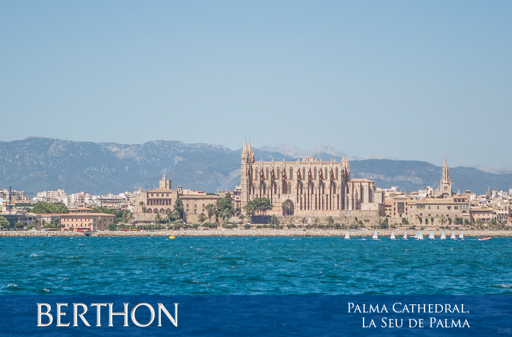
This longer trip will complete the traversing of the mountainous west coast and bring you to the northern beaches. Here there are many more options to find shelter. Cala Sant Vicenç faces northeast, and despite the dramatic rocky cliffs, an anchorage can be found at the head of the bay. This leg will see you sail past the renowned gorge of Sa Calobra, which would be a fantastic lunch stop on any day.
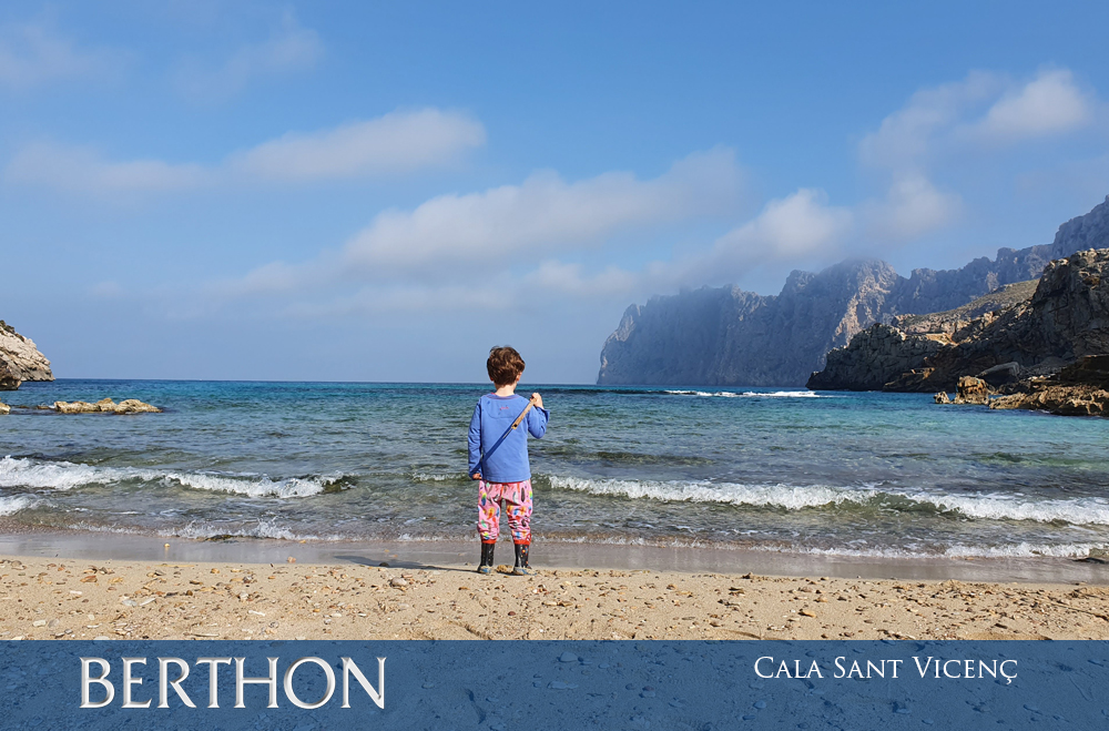
As the crow flies, Cala Sant Vicenç to Port de Pollença is under 2 miles; by sea you must navigate around the Cap de Formentor to reach the town of Port de Pollença and the large marina there. Pollença bay stretches over 3 miles in length, where you can also find space to anchor. The approach towards the port takes you past the famous Platja de Formentor, a south facing beach with beautiful white sand backed by a thick pine forest. Anchoring is not allowed in the bay, but you can pick up a mooring buoy on yachts up to 25m with prior reservation.
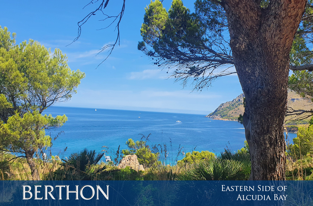
Separating the two northern towns of Port de Pollença and Alcudia are Cap de Pinar and Cap de Menorca. This headland mimics the shape and angle of the Cap de Formentor to the north, resulting in Pollença bay feeling almost like a lake. This is a very popular area for water sports such as kite surfing and windsurfing, with the long, shallow beach and regular onshore winds attracting enthusiasts year-round. Along this southern headland you will find numerous coves and anchorages, and a commercial ferry port and large marina within Alcudia itself to the south.
The Bay of Alcudia is more than twice the size of Pollença, at around 8.5 miles across, dominating the northern coast of Mallorca. The eastern cape is predominantly protected by a marine reserve area, extending from Cap Ferrutx on the eastern coast of Alcudia Bay along to Capdepera, the most easterly point on Mallorca.
This leg of the journey brings you round the Eastern Cape and we start to head south down the east coast. Porto Cristo is a small, narrow cove, or cala as they are called in Mallorca, with a marina and town at the head. This cala is characteristic of the east coast of Mallorca.
Porto Colom is the largest port along this coast, with a large natural harbour offering protection to the marinas within. The coast between Porto Cristo and Porto Colom is dotted with the distinctive calas and small beaches, which are often inaccessible by road.
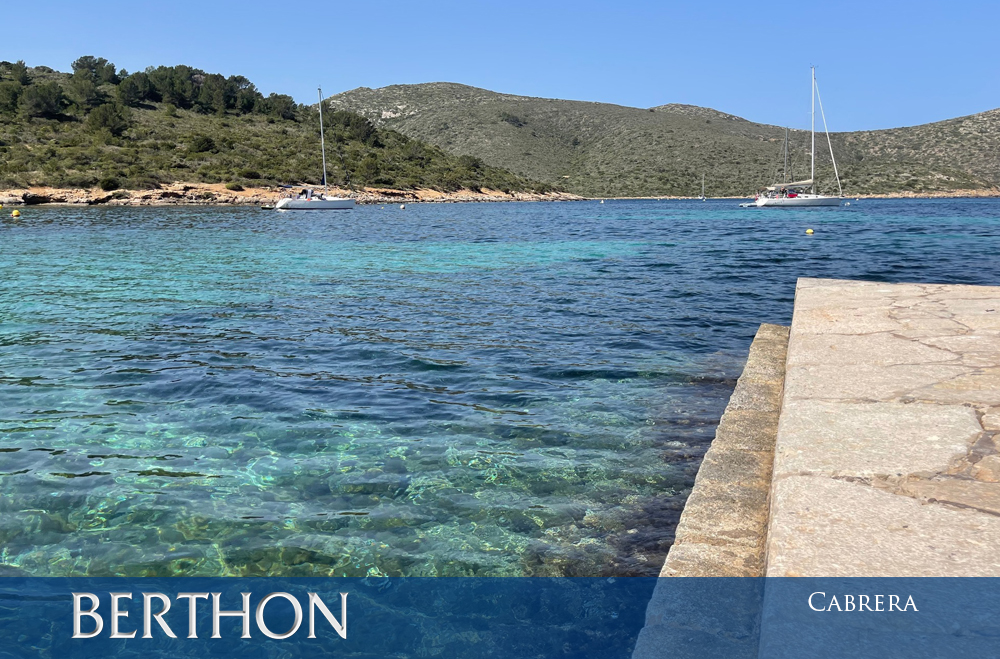
The anchorage on the archipelago of Cabrera lies 8 miles south of the Cap de Ses Salines on the southern tip of Mallorca. Whilst technically not part of Mallorca, it is such a fantastic location that should be included on an itinerary. It is a marine reserve where anchoring is prohibited, and mooring buoys must be booked in advance.
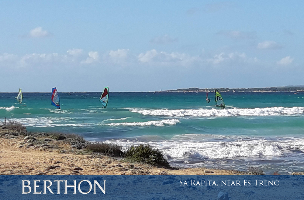
From one natural reserve to another. The beach of Es Trenc is on the south coast of Mallorca and is well known as one of the few beaches not backed by hotels and high-rise flats found in the central tourist areas. Anchoring is available in the bay, which is also popular with water sports enthusiasts.
As with the west coast, the south-eastern corner of Mallorca is backed by high rocky cliffs and few beaches offering shelter. From the sea numerous lighthouses – both ancient and modern – can be seen dotted along the cliffs. As we begin our return into Palma Bay, the marina at S’Arenal and the anchorages nearby at Cala Blava offer fantastic views towards the city, with the Tramuntana mountains behind.
Before returning to the delights of the city of Palma, one more stop at the serene anchorage at Illetas, a few miles to the southwest of the harbour walls, completes the circumnavigation.
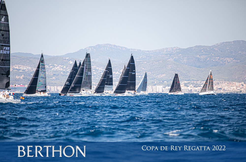
Despite being a relatively small island in the Mediterranean, Mallorca has a wonderfully diverse landscape. Each coast is different – tall, craggy mountains, wide bays with long sandy beaches stretching for miles, narrow rocky calas, the large natural harbour of Palma Bay. This makes exploring the island by sea an exciting prospect. Mallorca is not only a destination for holiday cruising though. One of the most prodigious European regattas, the Copa del Rey, is based out of Real Club Nautica in Palma, and takes place each August. A thirty-year long tradition sees the King of Spain come to Mallorca for this annual competition and compete with his own racing team.
Palma de Mallorca also has a long-standing tradition of being a hot spot for superyachts of all shapes and sizes. These superyachts would have been originally drawn to Mallorca because of the favourable sailing conditions and large sheltered port. Their presence has resulted in the bustling service industry in Palma that we see here today. Mallorca continues to provide a high-quality service ashore, as well as a spectacular sailing destination at sea.
Contact rowan.fairbrass@berthonspain.com.